Property Record
8327 Collins Rd, Fort Mill, SC 29707


Property Detail
8327 Collins Rd
0013-00-019.01
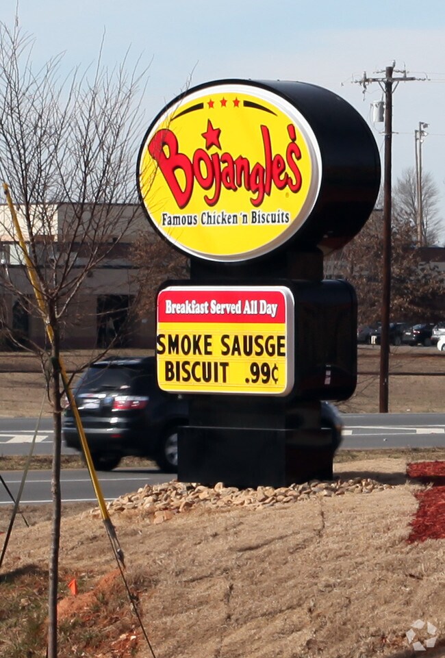
BOJANGLES
Restaurantdrivein
LANCASTER
GB
South Carolina
B and X Area of moderate flood hazard, usually the area between the limits of the 100-year and 500-year floods.
2
2025
1.15 AC
2025
Lancaster County
011206
Charlotte
3,793 SF
Charlotte-Concord-Gastonia, NC-SC
NEARBY LISTINGS FOR SALE OR LEASE
-
-
View all Fort Mill listings for sale on LoopNet.com
DEMOGRAPHICS near 8327 Collins Rd
1 mile
3 mile
5 mile
2025 Total Population
3,168
28,303
85,053
2030 Population
3,562
31,680
93,882
Pop Growth 2025-2030
+ 12.44%
+ 11.93%
+ 10.38%
Average Age
49
46
41
2025 Total Households
1,448
11,432
30,505
HH Growth 2025-2030
+ 12.50%
+ 12.27%
+ 10.85%
Median Household Inc
$91,238
$110,334
$128,518
Avg Household Size
2.20
2.50
2.80
2025 Avg HH Vehicles
2.00
2.00
2.00
Median Home Value
$482,328
$515,064
$567,570
Median Year Built
2010
2010
2010
Nearby Places
Map Layers
Map Styles
 Street
 Aerial
Layers
 Traffic
 Biking
Places
Listings with unknown addresses are not visible on the map
- Restaurants
- Banks
- Shops
- Fitness
- Groceries
PUBLIC TRANSPORTATION
AIRPORT
Charlotte/Douglas International
Drive
Walk
Distance
Charlotte/Douglas International
37 min
21.7 mi
Concord-Padgett Regional
Drive
Walk
Distance
Concord-Padgett Regional
55 min
42.9 mi
Nearby Properties
Address
Land Use
TOTAL SIZE
Lot Size
Zoning
Address
Land Use
TOTAL SIZE
Lot Size
Zoning
149,109 SF
21.87 AC
INS
Address
Land Use
TOTAL SIZE
Lot Size
Zoning
93,098 SF
25.09 AC
R-40 UNION
Address
Land Use
TOTAL SIZE
Lot Size
Zoning
50,462 SF
15.68 AC
Address
Land Use
TOTAL SIZE
Lot Size
Zoning
95,726 SF
49.65 AC
INS
Address
Land Use
TOTAL SIZE
Lot Size
Zoning
40,516 SF
55.66 AC
INS
Address
Land Use
TOTAL SIZE
Lot Size
Zoning
35,779 SF
12.77 AC
INS
Address
Land Use
TOTAL SIZE
Lot Size
Zoning
2.65 AC
R-40 MARVI
Address
Land Use
TOTAL SIZE
Lot Size
Zoning
99,852 SF
19.02 AC
LI
Address
Land Use
TOTAL SIZE
Lot Size
Zoning
1,724 SF
43.33 AC
INS
Address
Land Use
TOTAL SIZE
Lot Size
Zoning
15,440 SF
2.62 AC
INS
Address
Land Use
TOTAL SIZE
Lot Size
Zoning
82.35 AC
GB
Address
Land Use
TOTAL SIZE
Lot Size
Zoning
2.30 AC
R-40 MARVI
Address
Land Use
TOTAL SIZE
Lot Size
Zoning
3.21 AC
R-40 MARVI
Address
Land Use
TOTAL SIZE
Lot Size
Zoning
64,240 SF
21.36 AC
LI
Address
Land Use
TOTAL SIZE
Lot Size
Zoning
6,323 SF
20.89 AC
Address
Land Use
TOTAL SIZE
Lot Size
Zoning
7,258 SF
19 AC
PDD
Address
Land Use
TOTAL SIZE
Lot Size
Zoning
21.35 AC
MX
Address
Land Use
TOTAL SIZE
Lot Size
Zoning
10,620 SF
2.68 AC
INS
Address
Land Use
TOTAL SIZE
Lot Size
Zoning
1,184 SF
38.39 AC
Address
Land Use
TOTAL SIZE
Lot Size
Zoning
467.55 AC
RUD
Address
Land Use
TOTAL SIZE
Lot Size
Zoning
15,486 SF
3 AC
INS
Address
Land Use
TOTAL SIZE
Lot Size
Zoning
8,895 SF
13.02 AC
LDR
Address
Land Use
TOTAL SIZE
Lot Size
Zoning
0.65 AC
R-40 UNION
Address
Land Use
TOTAL SIZE
Lot Size
Zoning
10,275 SF
2 AC
INS
Address
Land Use
TOTAL SIZE
Lot Size
Zoning
65 AC
INS
Address
Land Use
TOTAL SIZE
Lot Size
Zoning
4,500 SF
15 AC
INS
Address
Land Use
TOTAL SIZE
Lot Size
Zoning
0.70 AC
R-40 UNION
Address
Land Use
TOTAL SIZE
Lot Size
Zoning
282.58 AC
RUD
Address
Land Use
TOTAL SIZE
Lot Size
Zoning
0.93 AC
R-40 UNION
Address
Land Use
TOTAL SIZE
Lot Size
Zoning
38.57 AC
INS
The World's #1 Commercial Real Estate Marketplace
Connect with us
© 2026 CoStar Group
The information above has been obtained from sources believed reliable. While we do not doubt its accuracy we have not verified it and make no guarantee, warranty or representation about it. It is your responsibility to independently confirm its accuracy and completeness. Any projections, opinions, assumptions, or estimates used are for example only and do not represent the current or future performance of the property. The value of this transaction to you depends on tax and other factors which should be evaluated by your tax, financial, and legal advisors. You and your advisors should conduct a careful, independent investigation of the property to determine to your satisfaction the suitability of the property for your needs.